Roles
Developer/designer
Additional Credits
Elevation data from NASA's Shuttle Radar Topography Mission (SRTM). Map data © OpenStreetMap contributors under the Open Database License. Map designed and rendered using TileMill.
Purpose
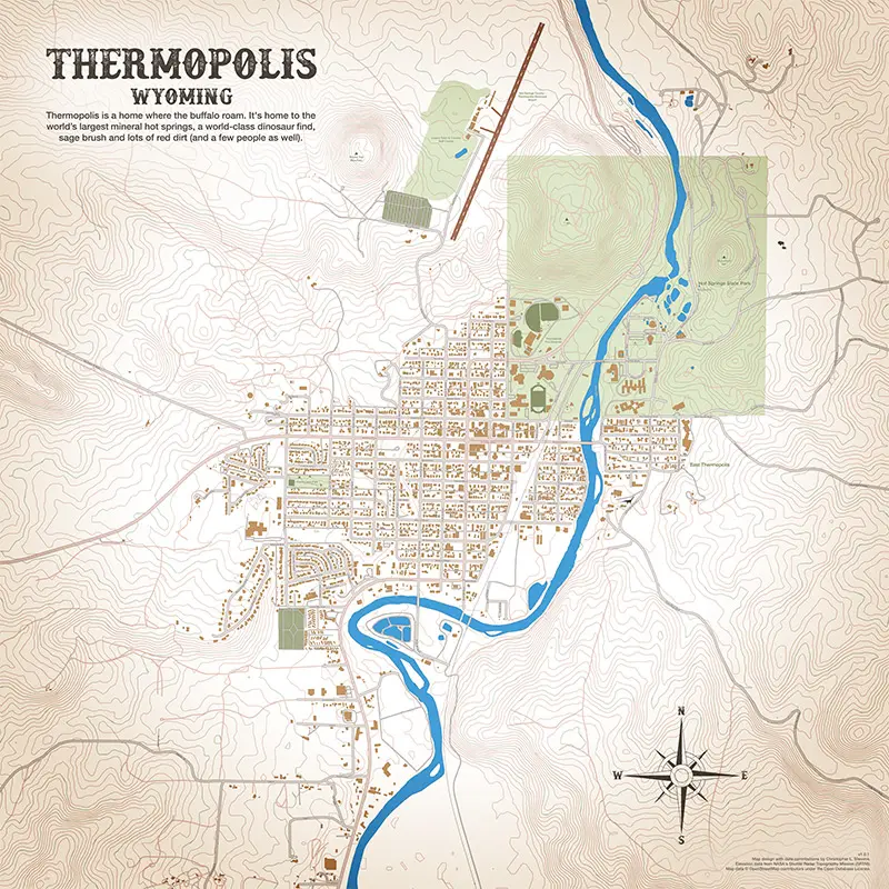
Design a Christmas gift for Dad!
Highlighted Features
Contributed thousands of new polygons and edits to OpenStreetMap. Created custom design and color palette derived from photos of the area. Generated high resolution map tiles.
Additional Information
This 45x45" map print is for sale at: [https://goo.gl/KlSTBA] -link archived-
Posted: 2015-01-01